
Three Utilities, One Tap: San Jose's Water Patchwork, Mapped
Three water utilities, one federal inventory, and a valley that once sank from its own wells: San Jose's drinking water, documented address by address.
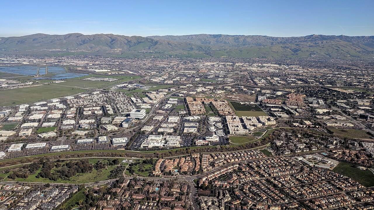
San Jose drinks from three systems, and the seams show on the map. Most of the city is served by San Jose Water — an investor-owned utility founded in 1866, when the town's wells and acequias gave way to pipes — drawing on Santa Cruz Mountains surface water, valley groundwater, and treated imported water bought wholesale from Valley Water. A tenth of the city, roughly — the north, Edenvale, Coyote Valley, and Alviso — is served by the city's own San Jose Municipal Water System, and a slice of the edges by a third utility, Great Oaks Water. Which utility answers your leak depends on your street.
The federal audit now applies to all of them. Under the EPA's Lead and Copper Rule improvements, each system must inventory its service lines, classify the material at every address, and publish the inventory. San Jose Water has been assembling its record across a service area whose oldest pipes run under the city's nineteenth-century core — the Japantown and downtown grids, the old cannery districts — where lead and galvanized lines concentrate by age, as they do in every California city of San Jose's vintage.
The local history sharpens the stakes in a specific way: this is the valley that sank thirteen feet from groundwater overdraft before reorganizing its water management in the mid-twentieth century. The aquifers that buffered that era are now managed as the county's drought bank, drawn in dry years and recharged in wet ones — and the water quality conversation rides on the same wells and treatment plants the subsidence era built.
For residents, the systems' guidance converges: check your address in your utility's published inventory; if the line is lead or unknown, use cold water for drinking and cooking, flush a standing tap, and consider a filter certified for lead; and know that your utility's annual water quality report — all three publish them — is the standing public record of what the tests find.
The deeper point is administrative, and it is the investigation's real subject: a city of a million people is served by a patchwork drawn in the nineteenth century, now being documented to a single federal standard, address by address. The maps are public. The remaining unknowns, as everywhere, are the story — and they shrink only where residents and utilities do the looking together.